|
|
|

|
|
|
|
|
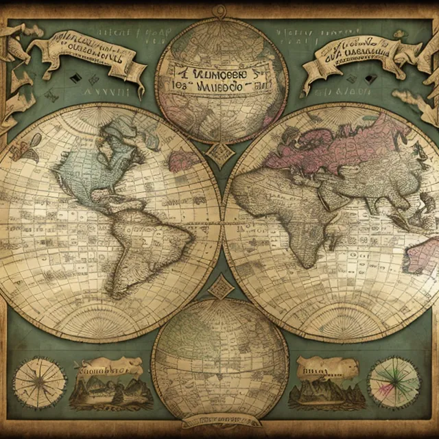
| title | Old world map in Mercator projection, showcasing Age of Exploration. |
| description | The image is an old world map. It is a Mercator projection, which means that the lines of latitude are parallel and the lines of longitude are curved. The map is oriented with north at the top. The map is surrounded by a decorative border. The border is made up of four sections. The top section has two banners. The left banner has a Latin inscription that reads "Orbis Terrarum". The right banner has a Latin inscription that reads "Novus Orbis". The bottom section has two cartouches. The left cartouche has a Latin inscription that reads "Terra Australis". The right cartouche has a Latin inscription that reads "America". The map is divided into two hemispheres, the Eastern and Western Hemispheres. The Eastern Hemisphere is on the left side of the map and the Western Hemisphere is on the right side of the map. The Eastern Hemisphere shows Europe, Africa, and Asia. Europe is in the top left corner of the map. Africa is in the middle of the map. Asia is in the top right corner of the map. The Western Hemisphere shows North America and South America. North America is in the top left corner of the map. South America is in the bottom right corner of the map. The map is a valuable historical document. It is a reminder of the Age of Exploration, when Europeans were exploring the world and discovering new lands. |
|
|
|
| Download | |
| feature | |
| resolution | 640x640 |
| creativity | 85/100 |
| likes | 3 |
| from | Click to get the source of image (640 x 640) |
| Model | Stable Diffusionv1.5 |
| Fine-tuning | |
| LoRA | |
| prompt | a vintage world globe map , VintageMap_f map colorful (borders:1.2), fantastic illustrations, outlines. |
| negative prompt | |
| parameters | seed662166156 steps26 samplerDPM++ SDE Karras CFG scale7 clip skip7 |